Drone Services (UAV)
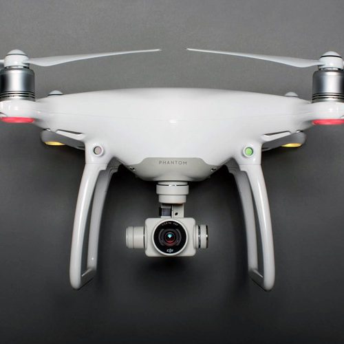
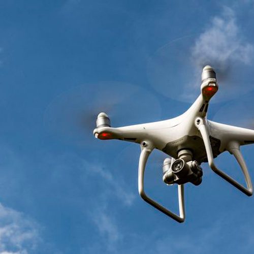
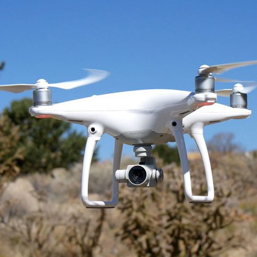
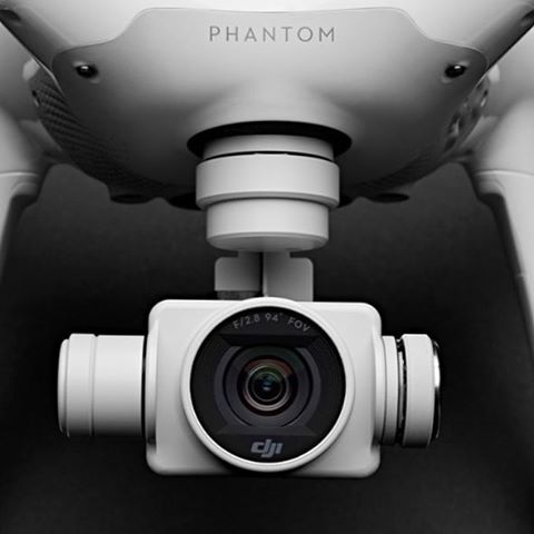
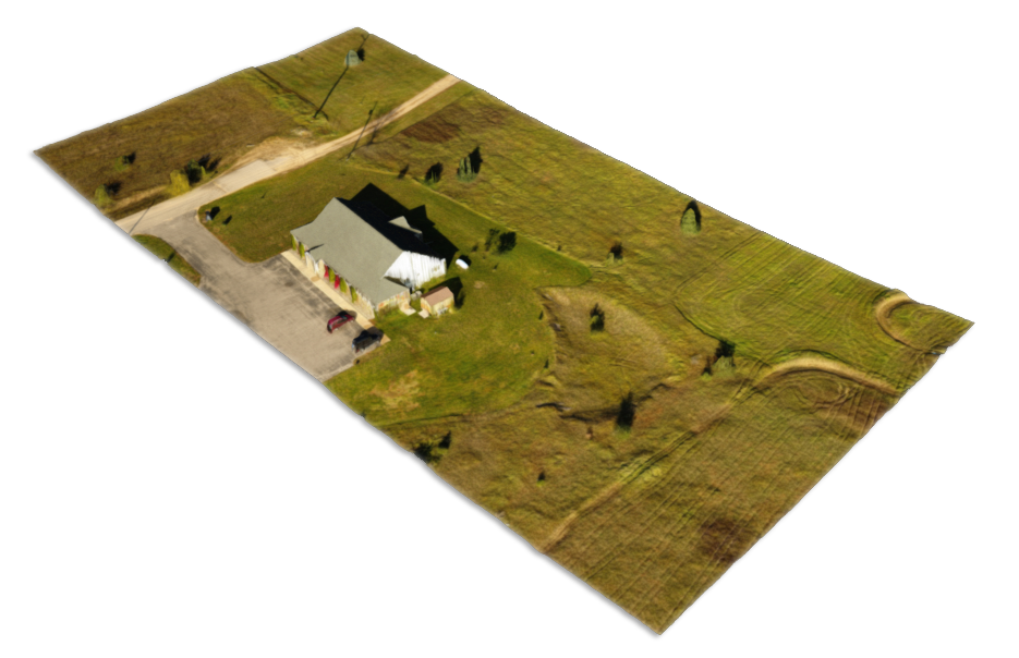
Landtech utilizes Drone UAVs to obtain close-up photos of existing equipment on telecommunications towers. Then, using specialized software, we process the imagery to produce spatially accurate 3D models of the structure. The 3D models may be used to produce precise tower maps and/or to obtain dimensions of existing antennas and appurtenances.
-
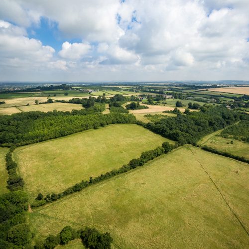
- Aerial Photography
- Digital Terrain Modeling
- 3D modeling
- Volume Surveys
- Industrial Scanning (indoors & outdoors)
- Topographical Surveying
Contact Landtech Today
Have questions or need a quote?
Please contact us with any land surveying questions you may have or to get a quote on your project. Our quick turn around time enables the client to review their surveys with counsel and suggest any revisions before the closing deadline. Landtech has gained a reputation for being the “Go-To” company when timing is critical. We understand the massive undertaking involved with closing on multi-million dollar commercial properties.

